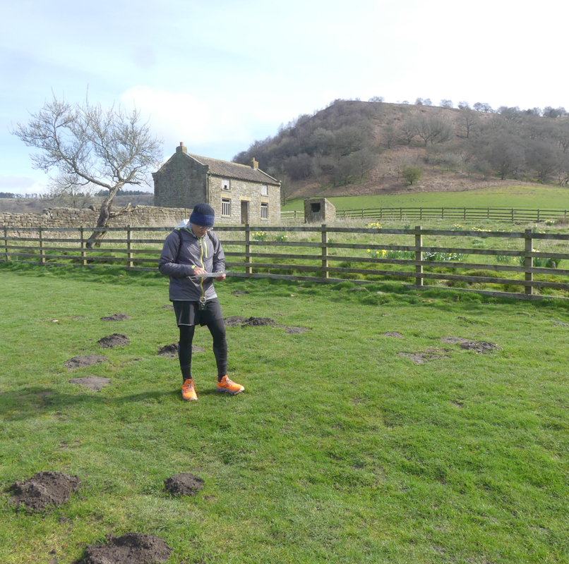
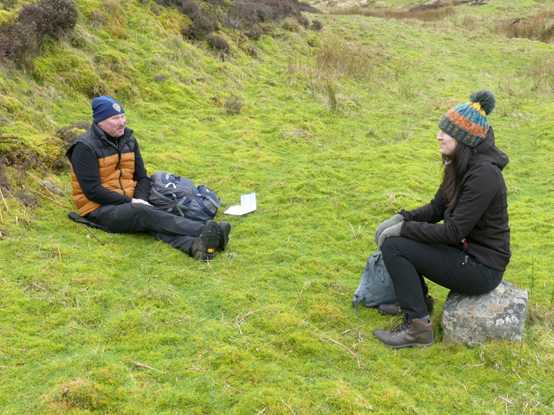
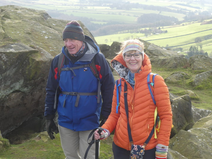
Our courses are held all over the North York Moors & Yorkshire Dales National Parks. These are some of the locations used.
Square Corner, Osmotherley,
North York Moors
An area of wild heather strewn moorland, on
Black Hambleton. The Cleveland Way runs along the escarpment, following an old drovers track to the Vale of York. Most of the year despite being on a long distance footpath it remains very quiet. Totally stunning in August, when the heather is in bloom. Parking at Square Corner (free). This location is close to: – Northallerton, Osmotherley, Darlington, Middlesbrough, Ripon, Swainby, Hutton Rudby, Leeming, Bedale
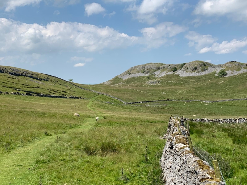
Stainforth, nr Settle.
Yorkshire Dales
Feizor Thwaite, on the fells between Langcliffe towards Feizor. Wonderful limestone scenery. Due to the underlying geology, this area stays quite dry, whilst other areas can be flooded. Open countryside, separated by limestone walls. Parking at the National Park Car Park at Stainforth. About £5 all day. This location is close to: – Settle, Skipton, Bradford, Keighley, Pateley Bridge, Leeds, Otley
Hole of Horcum, nr Pickering
North York Moors
A natural depression in the Moors, caused by the Devil having a temper trantrum. Situated on the A169 between Pickering & Whitby. This is an area of heather moorland, deep valleys and woodland. You may even see the steam trains on the North York Moors Railway. Parking in the National Park Car Park, near Saltergate. About £5, all day. This location is close to: – Scarborough, Pickering, Whitby, Goathland, Malton, York, Castle Howard.
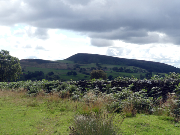
Hawnby, nr Thirsk & Helmsley
North York Moors
An area of rough grassland, heather, woodland and moor. Another area that is rarely visited, totally beautiful. It was whilst on a walk, being lead by another person, that made me realise I should start teaching navigation again. Poor instructions on the route they were following. A free car park at Moorgate or in Hawnby village. This location is close to: – Helmsley, Thirsk, Rievaulx Abbey, Ampleforth, Easingwold, York, Northallerton, Ripon, Bedale
Leyburn & Grinton, nr Reeth.
North Yorkshire
An area of upland moor, between the two villages, with plenty of heather, grouse butts and curlews. There is parking adjacent to the road. No facilities in the area. Cafes, in Leyburn, Grinton and Reeth.
Chop Gate, nr Middlesbrough.
North York Moors
Parking at Chop Gate (pronounced Chop Yat), there is a fee that is paid to the National Park, about £2. There is a toilet in the car park. Areas of heather moorland, excellent for navigation training. A pub in the village serving tea, coffee, beers etc and hot food. Very welcoming.