Q. Where do the courses take place?
A. There are no fixed locations, I attempt to find a suitable location with easy access, via road with parking as the majority of people but not all have access to a car. In the North York Moors & Yorkshire Dales National Parks
I attempt to locate this reasonably close to where you live, but I do not want it to be a location you already know. I want you to use a map and compass to navigate, not your local knowledge.
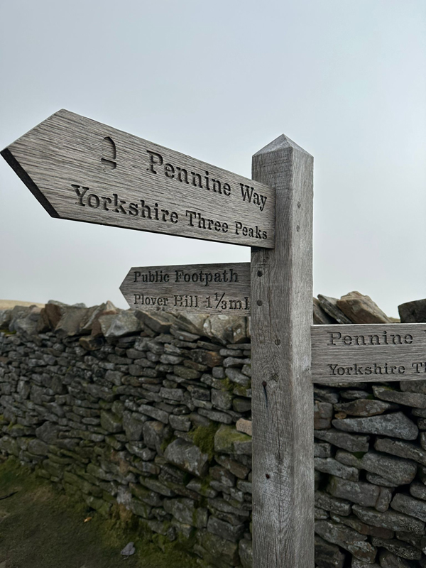
This location also needs to be open land, with the right to roam, to allow for navigation exercises. So upland & moorland areas within the National Parks.
Consideration must also be allowed for the actual land use, livestock, game birds & wild birds nesting, the shooting season etc.
Your Questions & Answers
I hope these Q & A will help answer most of your questions, if not please use the button below to send a question
Q. Do I receive a certificate, having completed a Basic or Advanced Navigation Course?
A. The simple answer to that is – No.
Do you get a driving licence having had one driving lesson?
Do you get a GCSE for attending school for one day?
These courses are designed as a starting block, upon which you then build your knowledge and experience in navigation. They are designed for people who want to improve their safety whilst in the outdoors. Plus having fun at the same time, no need for exams/tests you will know when YOU KNOW what you need to do.
A lot of people don’t enjoy or are put off by the thought of tests.
There are no failures, on these courses. You will learn to your own level. upon which you can build upon with practice.
As I always emphasise having completed, these courses, you then need to practice and then practice some more.
So when the worse happens, the weather has turned from the warm & sunny day it started out as, to one with high winds and horizontal rain, and one of your party has twisted an ankle. You have the skills, knowledge and experience to navigate yourself and friends off the fells to safety, or can give mountain rescue your precise grid reference so that you can be located. That all takes practice. Without practice it is too easy to make errors.
Q. What do I need to bring on the course?
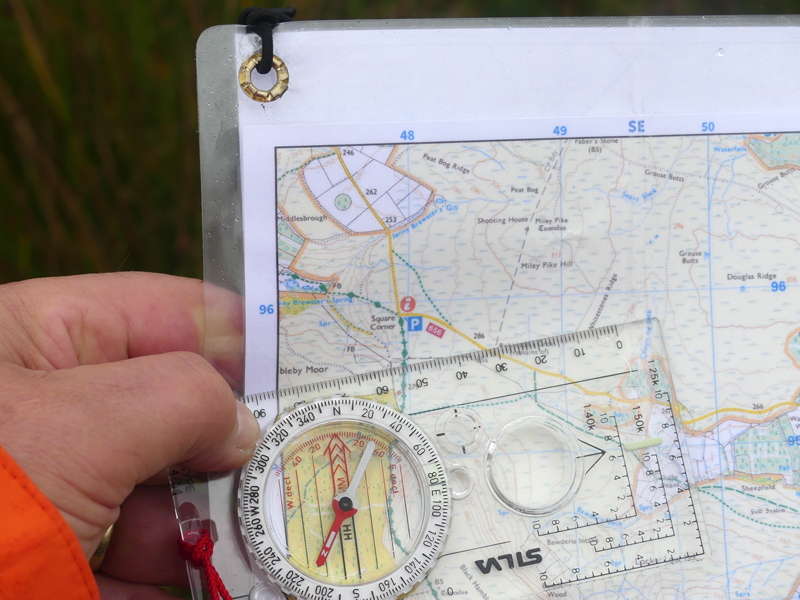
A. I will send you a recommended kit list, with your joining instructions. I supply you with a map and compass for you to use
on the day.
What you need to bring is clothing and foot ware suitable to keep you safe and comfortable in an upland environment. So that will very much depend on the season and the weather conditions on the day.
You will need walking boots or shoes, that give plenty of grip; grass and rocks can be slippery. Your foot ware being waterproof helps, as having wet and cold feet is not pleasant.
A light weight waterproof and windproof jacket. A base layer for next to the skin to wick away sweat, cotton is not advised as it retains moisture. Then a mid layer, something like a fleece to keep you warm, preferably with a zip so you can ventilate. In winter months a light down jacket, for when we stop.
Then a hat, gloves, buff, and a charged mobile phone.
Glasses if required. Any medication you need. A torch or head torch plus a whistle, in case of emergency.
A seat mat, is recommended when we stop for lunch.
Food and drink for you to eat and drink, all to be carried in a day rucksack.
Q. What to expect on the course?
A. The day starts with if we can with a cup of tea or coffee in a cafe, where we can have a quick meet and greet. If not it is a case of sitting either in my car on a wet day or outside for a short period to go over the theory of what you need to learn for the day: – map scale, how to give a grid reference, what contour lines mean and how to relate what is on the map to what you see on the ground. I try to make it as enjoyable as possible, but this is what you need to understand before we commence the practical stuff. We also measure how many steps you take in a 100 metres, everyone is different.
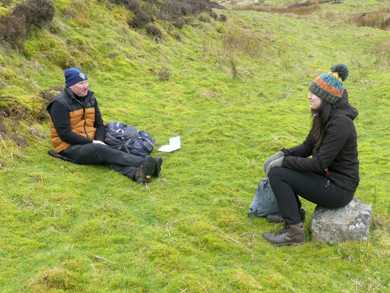
After that, YOU start navigating. You learn by hearing and watching. You UNDERSTAND & RETAIN, by actually doing. Each of the different techniques you will repeat and repeat again, so you can gain confidence in your ability.
No questions are silly.
You can ask to repeat and repeat again, until you feel confident.
We will walk about 5 to 7 miles in about 6 hours, it is about learning navigation, not the walk.
Any time after the course, if you are not sure, give me a phone call.
Learning to navigate by using a map & compass is a Life skill.
Do you think it is all too difficult?
You can never remember what to do, with a compass?
Could you give a grid reference to get help?
Take a one day course and it will all become clear!!!
© All Rights Reserved.