This website is now unfortunately closed. I shall no longer be taking bookings for courses. Due to health issues, I am unable to offer classes. The effects of heavy smoking in my younger days have caught up with me – COPD. (I haven’t touched a cigarette in 30 years). Basically, I have to keep stopping to get my breath when ascending hills, because my lungs have lost their elasticity. The booking section of the website has been removed.
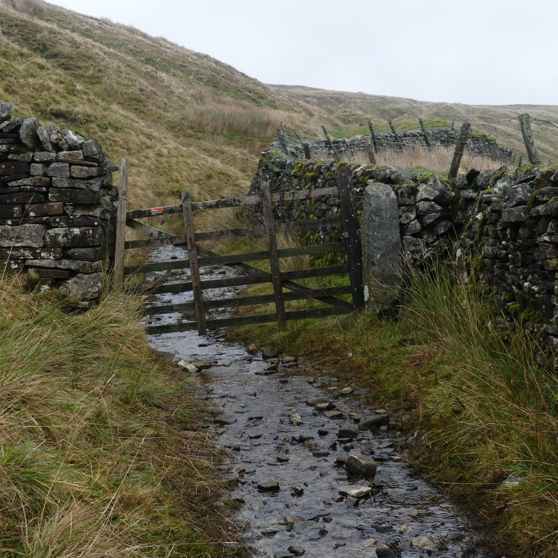
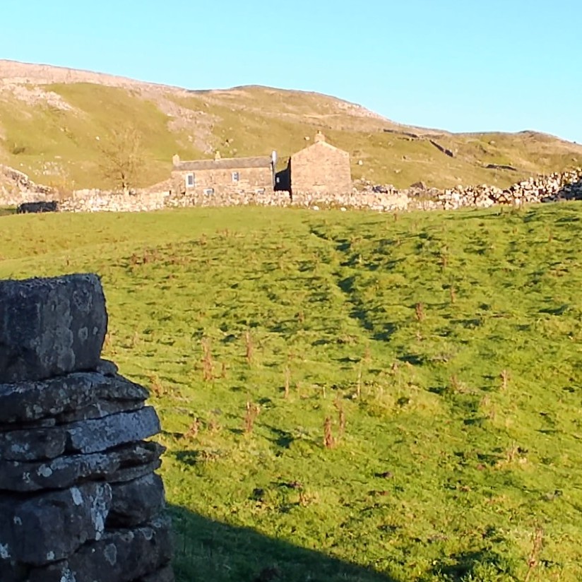
I will still be out walking & backpacking, at my own pace, but not taking classes.
Thank you to all those I have taught in the past. Any questions, get in touch via email.