Navigation Course Locations: North York Moors
Barkers Crags, Scugdale, to the south of Carlton Bank.
Suggested locations to practice map and compass skills, on the North York Moors, together with suitability, terrain, and facilities.

Square Corner, Osmotherley
There is plenty of free parking; however, the area lacks nearby facilities, such as cafes and pubs, in Osmotherley.
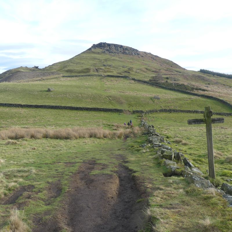
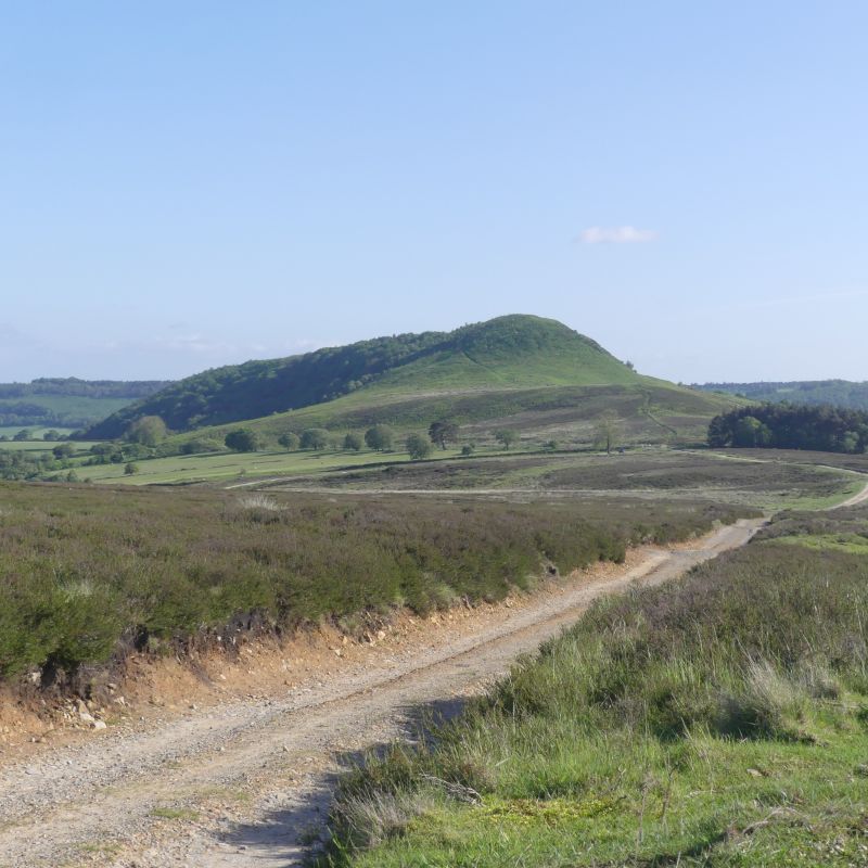
A short, steep(ish) uphill section to a plateau, where the course takes place. Well-defined paths, Heather, dry underfoot. Many Bronze Age burial sites, a WW2 airplane crash site, a spectacular hidden valley

Chop Gate, Middlesbrough
 A pay and display National Park paid car park at the village hall. There is a pub in the village.Â
An easy slope up onto the moor. Both the moor and the paths can be damp in the lower sections
Heather, Bracken. and deep rutted paths. Great opportunity for ‘off-path’ navigation and micro-navigation. Many Bronze Age burial sites. A visit to the ‘Wainstones’?

Hawnby, near Helmsley
There is free parking in the village or at Moorgate.
An excellent cafe in the village (Closed Wed & Thur). Gentle slopes unless we decide to ascend Hawnby Crag. Various types of terrain to encounter, from open moorland to fields and woodland.

Lordstones and Carlton Bank
Free parking at Lordstones, which is luckily also a cafe, where we can chat prior to the commencement of the course.Â
A step short ascent up onto the moor. Once on the plateau, the terrain is generally level.
Sandstone with Heather and Bracken so generally dry. Bronze Age burial mounds.Â
There are many opportunities to practice micro-navigation

Hole-of-Horcum, Pickering
A pay and display National Park car park. No facilities nearby.
A natural, massive amphitheater formed during the ice age. A steep descent into the valley. It can be damp & muddy in places. Varied terrain from short grass, woodland and Heather moorland. The are several hills to ascend/descend. An opportunity to see the Skelton Tower (folly) & steam trains on the North York Moor Railway.

Clay Bank, Round hill, Urra Moor
Free roadside parking or pay and display National Park car park. No facilities nearby.
To gain access to the Moor requires a short ascent onto the plateau. Sandstone with Heather, Braken, and short grass. Remains dry underfoot on top, but can be damp on lower sections to the south, off of trackways.
Great opportunities for micro-navigation. Steep-sided valleys
Book a course today! Before the best day of your life becomes your worst!
Technology is incredible—but it isn’t infallible. A drained battery, a broken device, or a lost signal can turn adventure into danger in seconds, which is why you should master the basics in map and compass navigation.
Our Map & Compass Course gives you confidence, safety, and independence. Sign up today – after your next trip may be too late.